Last week I completed a rather large project. I scanned 156 glass plate negatives from the Kingsport Planning Commission Records (KMMC 41). I learned an important lesson from this experience. Unless you are a pilot who flew in the 60s and 70s, you never really get any better at identifying the aerial images. Plate 12 was just as much of a mystery as Plate 112.
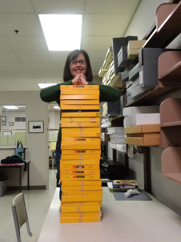
Here is the finished stack of plates. Each box (yea, Kodak!) has six to eight 9.5″ plates inside.
Out of the 156 images, I recognized about 9 of the plates. Here are two of my favorites…if it is possible to have a favorite negative.
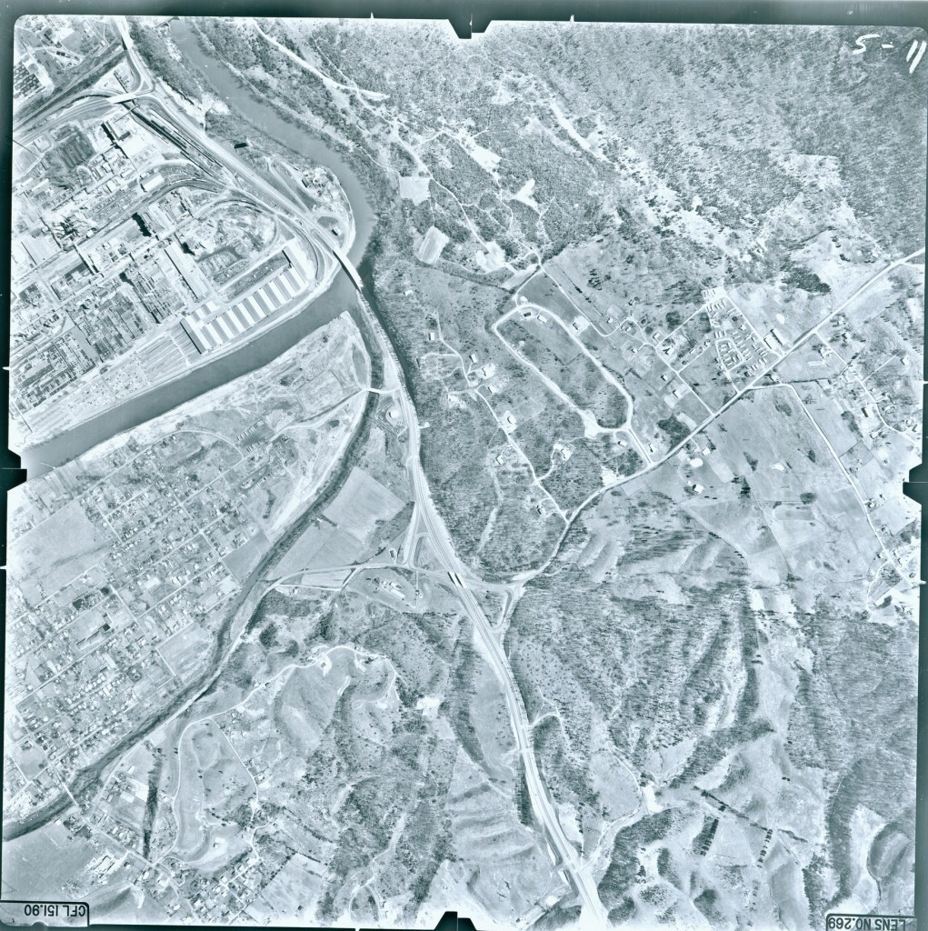
The South Fork Holston and its Sluice forms the southern tip of the Long Island of the Holston. Eastman Chemical occupies the left half of this plate.
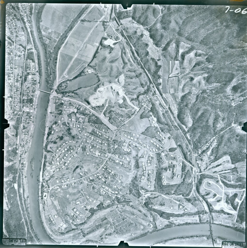
The northern tip of the Long Island of the Holston introduces the Boat Yard district. The CP Edwards Bridge leads to Ridgefields neighborhood to the right. The train tracks leading to Holston Defense and the train bridge over the confluence are also visible.
Currently, I am researching images for a HistoryPin project. We want to make sure Kingsport’s contribution to history is well represented.



4 Responses to Kingsport: Up in the Air