Last fall, as I was processing the last of the Spoden Collection (KCMC 516), which included maps and other over-sized materials, I noticed that on several maps of the old Boatyard district (1800-1840) a certain lot was often labeled “the sink hole lot.” I mentioned this to my friend John Scott who lives in a historic home within the Boatyard district. He said that come spring, he wanted to go with me to try and find it. Spring finally came. Let the archiventure begin! (Click to enlarge any map or picture, below.)
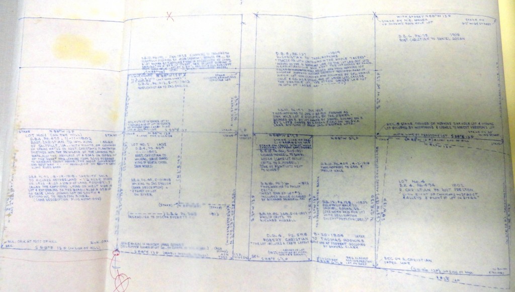
The top right lot is labelled “Hopkins’ Sink Hole Lot” which William Christian sold to Daniel Rogan in 1810.
To give some context, the bottom left lot, above, is the lot that King bought from Christian and sold to Richard Netherland in 1818.
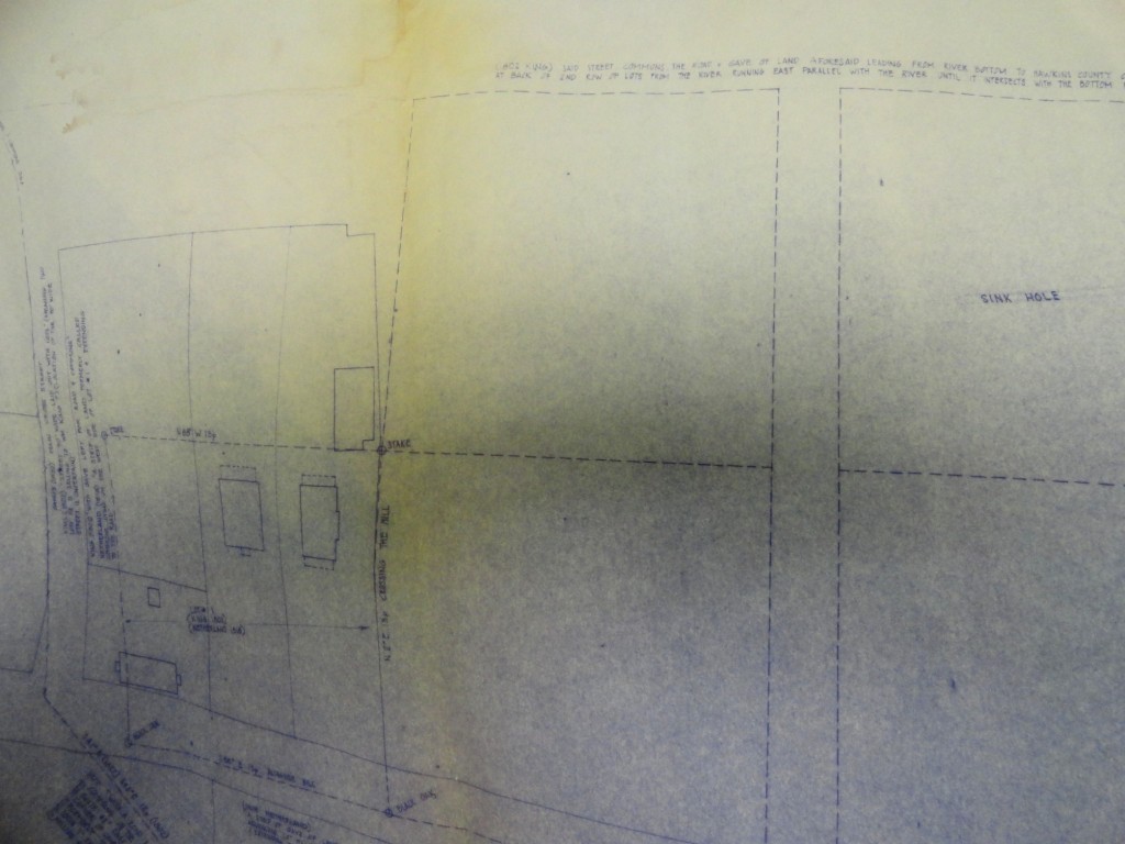
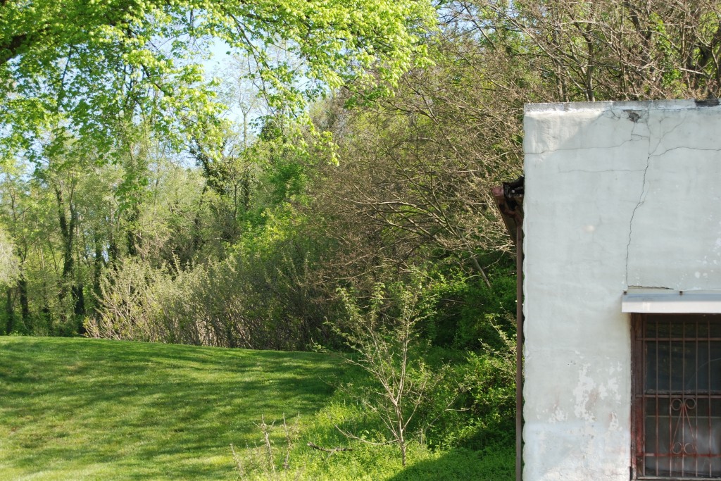
I stood on the river side of Netherland Inn Rd. and took this next picture to show that you can actually see the hole from the road. That is the Patton Store on the right.
After crossing the street, I videotaped the following:
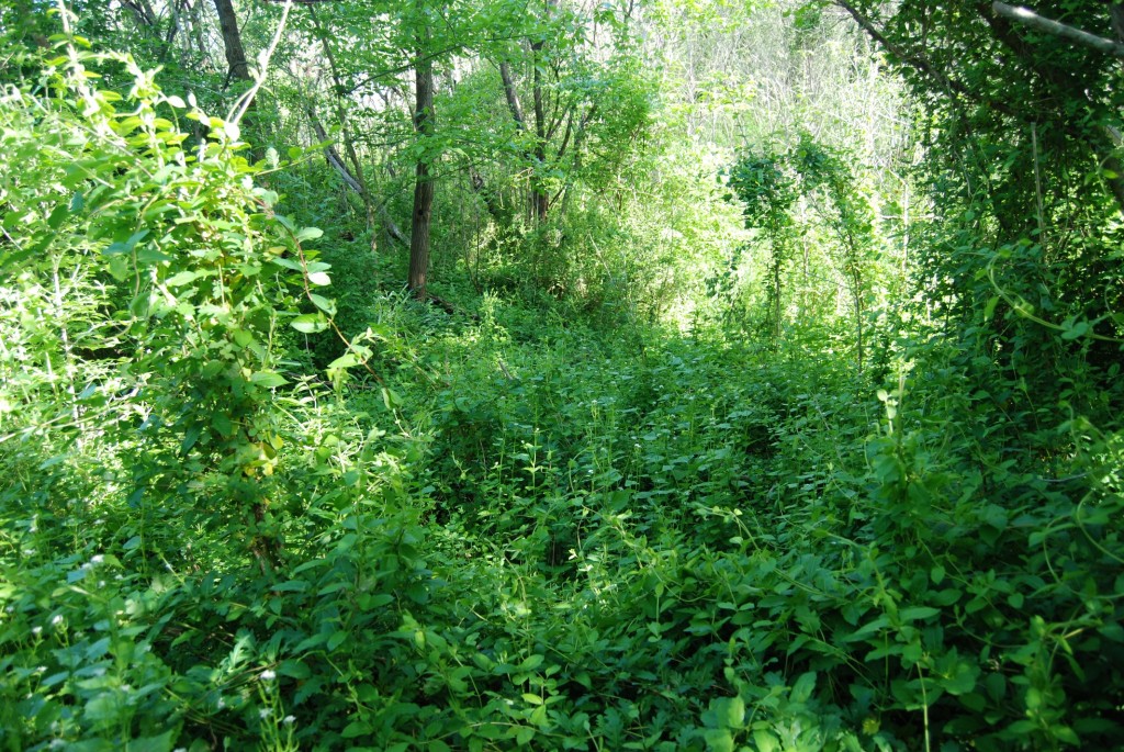
Standing on the western side of the hole, with the modern brick home behind me, I can see across the hole to one of the historic houses on the Hammond Property. The Hammond property is on the lot behind the Patton Store.
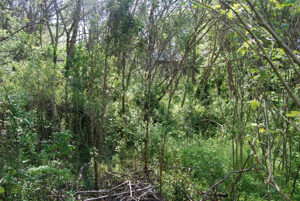
It is so dense on this side, I decide to drive around to the Hammond property and try a different approach.
Here is a close up of the “space” I nearly stepped into. Luckily I didn’t have the camera rolling, yet, otherwise you would have heard the big, girly yelp that escaped my lips.
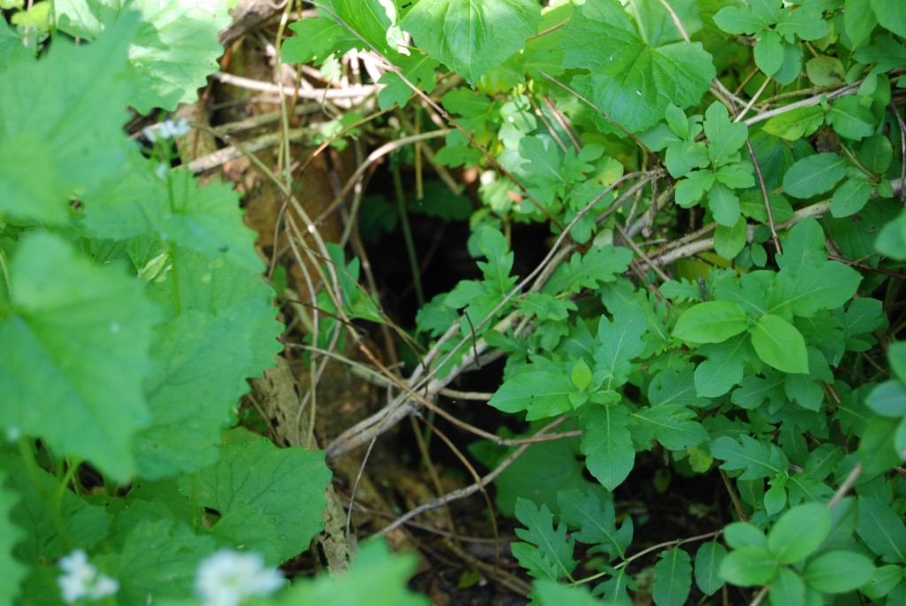
I decide to move a bit to the south (my left) to try and find a spot where I can stand a little closer to the edge.
A last look into the sink hole.
(The feature image at the head of this post is a close-up of the 3-d map at the Netherland Inn Bank Barn. The sink hole is the dark hollow at the top center that looks like bushes are falling into it.)



6 Responses to Kingsport: The Sink Hole